during the drought days of
summer. Thunderstorms keep
just enough water flowing for the
trout to survive.
Creek.
There are several streams that exit the park that are either not quite large enough or accessible to the point we care to call them major park streams; however, they do have a population of trout that may be worth catching depending on your particular preferences. If we left some of them off the list, local anglers would probably be happy about it. We would not want them to have any advantage (they don’t already have) on the visiting anglers, so we will cover some of them.
LeConte Creek:
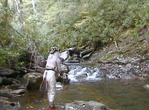
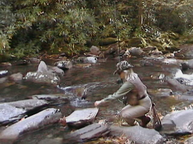
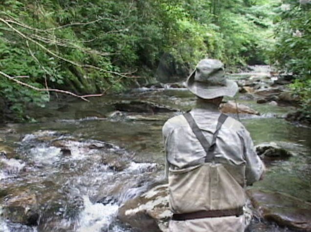
If you are staying in Gatlinburg or Pigeon Forge, looking for some of the park’s very small stream fishing (by that we mean smaller than the Pigeon River) but only have a short amount of time to get away, try this. Drive up the Cherokee Orchard Road to just inside the park, or better, just past the Park’s new office building and fish LeConte Creek. If you don’t make the mistake of going to far and getting on the Motor Nature Trail, a one-way road that takes about an hour or more to loop, you can catch a few rainbow and brook trout and be back at the cabin or motel room within a couple of hours.
Roaring Fork:
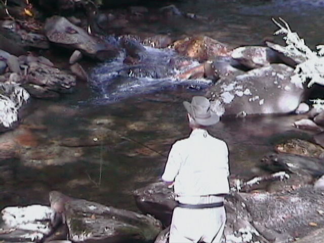
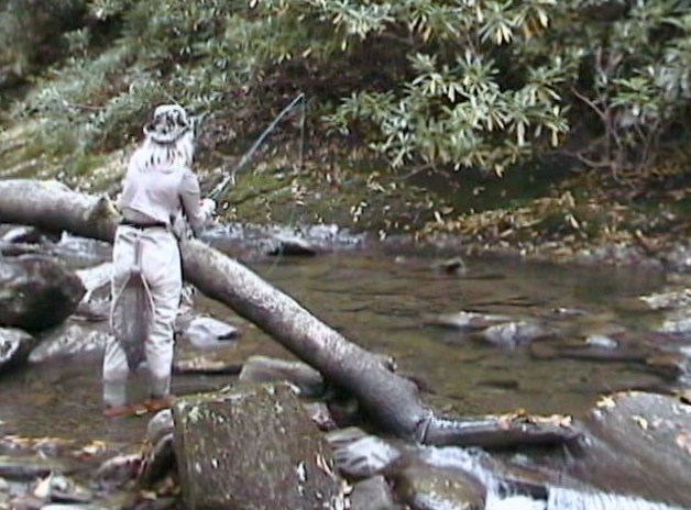
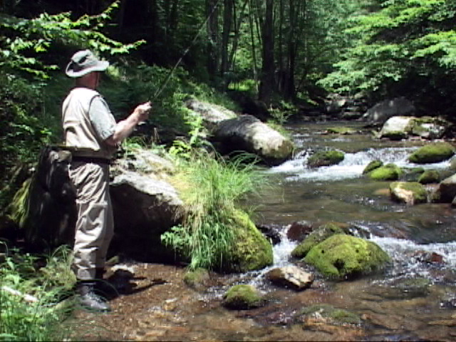
The upper part of the Roaring Fork can be accessed via the Rainbow Falls trail which follows it for two miles. If you do get on the Motor Nature Trail, follow it around until you start seeing small tributary streams. Just a short distance farther you should see the Roaring Fork, a small, steep and lovely stream. Most likely you will be the only one fishing and most likely you will catch a few rainbows.
This stream is well on the borderline of being called a major stream and could rightly be listed as a separate watershed that exits the park. The trout probably won’t break any records but they will probably measure up to what could be expected from any of the other small streams of its size in the park.
You can also walk in from the point the one-way road exits the park and fish upstream if you don’t care to drive around the one-way loop.
Dudley Creek:
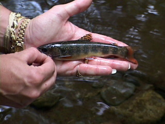
As you travel around the perimeter of the park heading east on highway #73 from Gatlinburg, Tennessee, you will find that Dudley Creek exits the park and follows along the highway for a short distance. There are no formal access trails to the small stream. Rainbows are present in the lower sections and brook trout are suppose to exist in the upper sections. We have not fished that part of the stream. This is a very small, densely covered stream.
Indian Camp Creek:
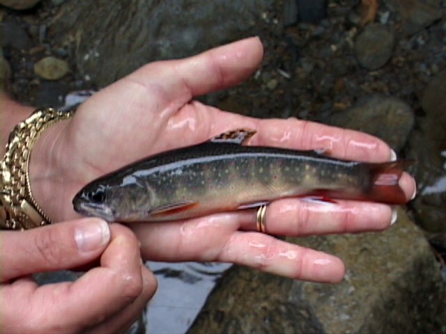
Indian Camp Creek is another one of those streams almost large enough to be considered a watershed worthy of its own separate section of the program. It does contain brook trout in its upper reaches. It can be accessed from the Indian Camp Creek trail but you will have to exit the trail to intercept the stream between its trailhead and its intersection with the stream slightly less than 3 miles upstream.
Parsons Branch:
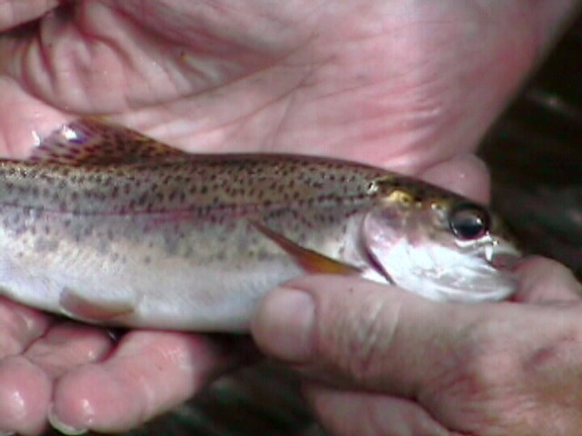
Parsons Branch is a small stream that has a good population of rainbow trout most years. It flows into Calderwood Lake outside the park. Parsons Branch can be accessed from the Parson Branch Road that exits the Cades Cove Loop Road inside the park, or from outside the park.
Tobcat Creek:
Tobcat creek is a very small stream that empties into Calderwood Lake. It usually has a good population of small rainbows. There’s an unimproved trail that follows the stream but access in general is poor.
Hessee Creek:
Hessee Creek is located in one of the least visited areas of the park. It usually has a decent population of rainbow trout. This stream exits the park and runs through Millers Cove. The Millers Cove road dead ends about a mile from the park boundary. It is necessary to hike in from there along an unimproved trail that follows Hessee Creek to the park. Beard Cane Creek joins Hessee about a half mile inside the park.
Copyright 2011 James Marsh